


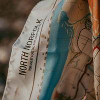
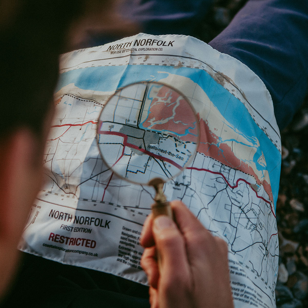
North Norfolk escape and evasion silk map.
Product Info
Evasion charts or escape maps were issued to pilots, special forces and other covert operatives during WW II and used when caught behind enemy lines to assist in navigation during the escape and evasion phase. Such documents were also passed to prisoners of war by various means to aid in escape attempts. Special material was used for this purpose, due to the need for a material that would be hardier than paper, and would not tear or dissolve in water or russel when close to the enemy.
The simple map is designed to represent significant features and assist with navigation over larger areas of terrain.
The CEC skippers use them for pre-sail briefings for clients and as a handy reminder of key creeks, sand banks and old smuggling tracks.
L 86cm W 30cm